How to Contribute to the missing maps initiative
All road and building data are stored in OpenStreetMap, a global dataset of geographic data fully managed by crowd-based edits. In order to contribute, please sign up for an OSM account.
Contributions to the project are managed within the HOT Tasking Manager. Developed to manage large mapping projects across wide contributor base, the Tasking Manager divides each country's area of interest into square task grid cells.
iD, the in-browser editor for OpenStreetMap, is the editor of choice for the project data. iD is a polished, easy to learn, and no previous mapping experience is required to contribute.
Opening a Task
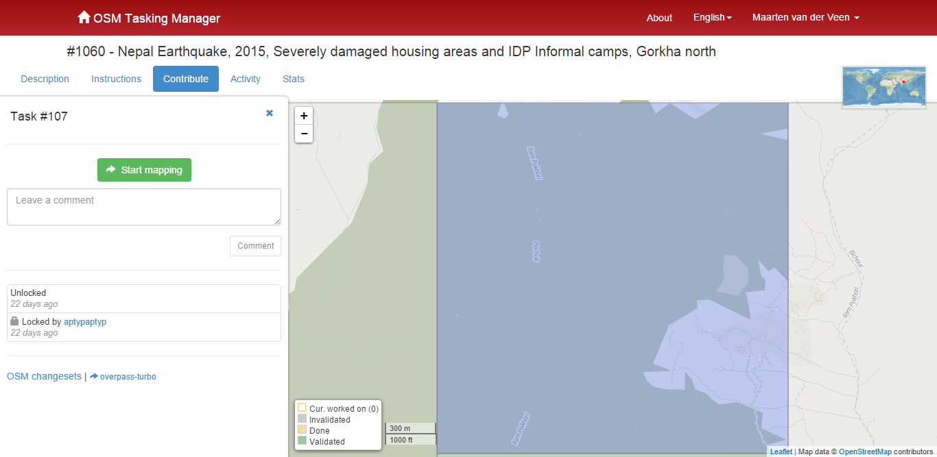
From the bottom of the homepage, select the country in which you would like to begin mapping. This will take you to the HOT Tasking Manager project for that country, where you can select a task to contribute to, see editing history, and view progress statistics.
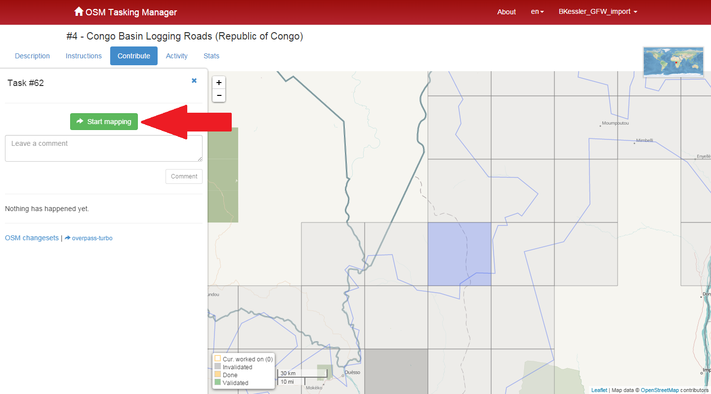
In the Tasking Manager, select a grid cell in the map window and click “Start Mapping”. If you are not already logged into your OSM account, you will be prompted to either log in to your existing account or to create an account on the OSM website.
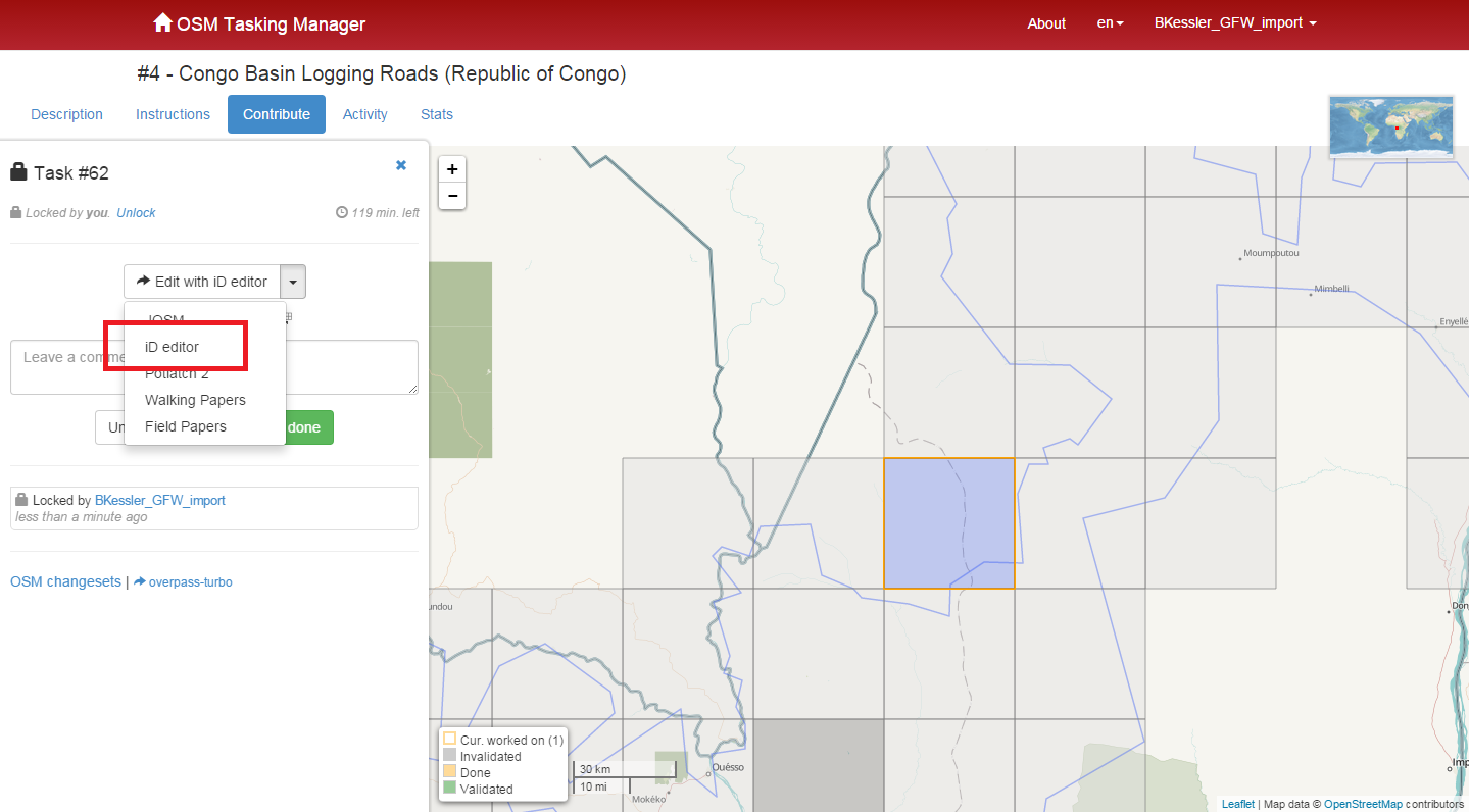
Within the “Edit with” drop-down menu, select “iD editor”. This will open the in-browser editor for OpenStreetMap, automatically centered on the task you selected. You are now ready to begin mapping.
Understanding the iD Editor
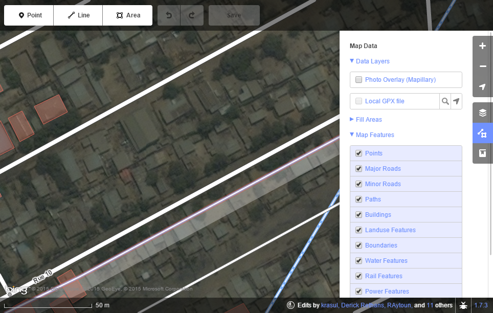
Once in the iD Editor, the area that you selected will be outlined by a purple rectangle. Zoom in to view map features.
Each features on the map (for example a road, building, or river) can be hidden using the filter tool in the Map Data Pane (shortcut key: F). Click Other Features to hide all additional features.
Change background imagery in the Layers Pane (shortcut key: B). Choose the background imagery that has the highest resolution (most detail).
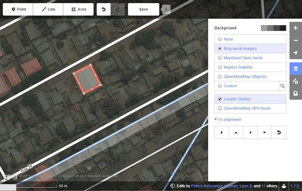
Tools for drawing new features are found at the top of the map viewer, and their associated tags will appear in the box on the left side of the screen.
Editing in iD
Click on an existing feature in iD to edit it. There are three ways to edit roads:
- Extend the road by adding additional nodes to the end (shortcut key: A)
- Double-click the middle of a road to add a new node
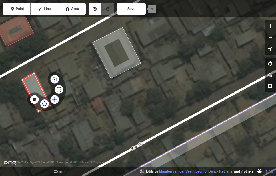
- Move existing nodes by clicking on them and dragging them into position
To stop editing, simply double-click the node, or deselect it by clicking away from it. The US State Department has made a great guide for basic editing in iD; find it here.
To edit feature attributes, click on the road you are interested in editing and select the year it is first visible to satellite imagery.
And that’s it! If you see roads that are not in OSM, feel free to add them, just remember to give them appropriate tags. It is important to remember that your edits will not appear on OSM unless you save and upload them using the “Save” button at the top of the map viewer. This will show you all of the changes you made, and allow your edits to show up on the leaderboard.
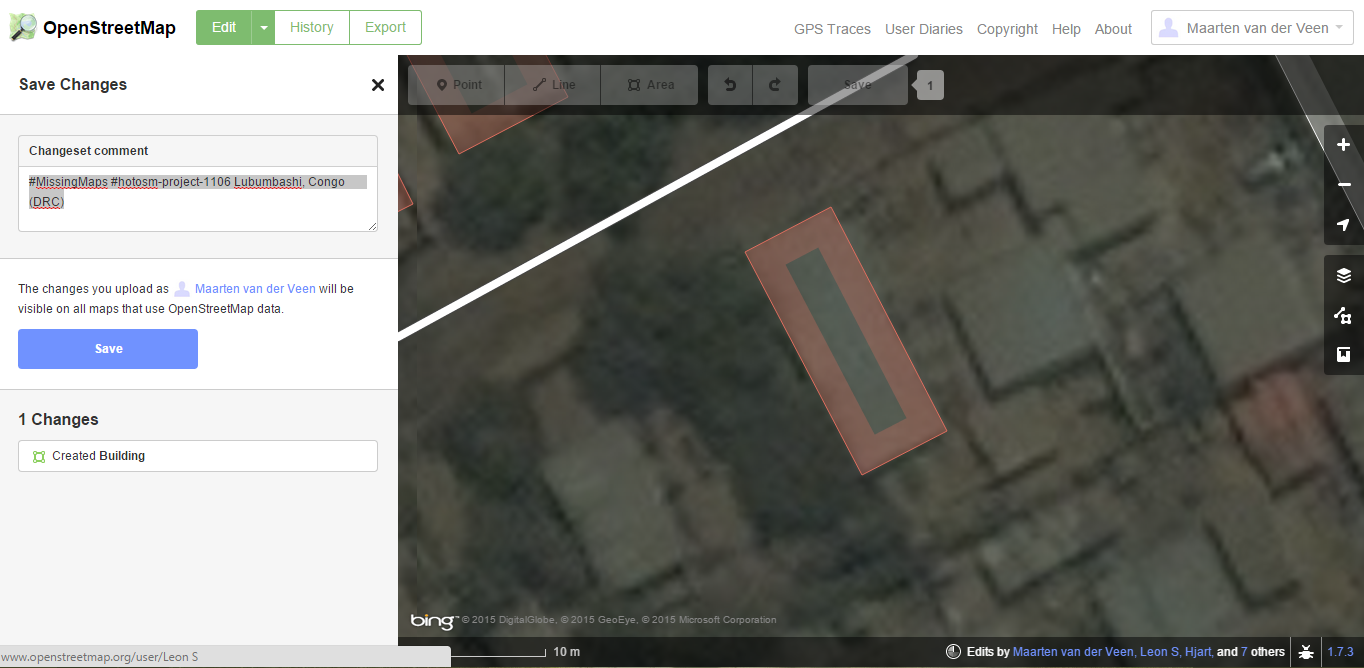
If you made any changes to the data (drew new roads, edited current roads, or even just corrected some tags) you need to leave a comment in the Tasking Manager. This allows those validating your work to know if there are any special circumstance about the area in question. This comment should include the hashtag #MissingMaps, so that we associate the editing you are doing with the project.
Once you are finished making edits, and have saved, you can close the iD editor, and click “Mark task as done” in the tasking manager. This unlocks the task, and will allows others to validate your work.